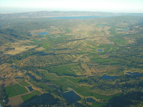
A Living Map for a Changing Landscape -- Vegetation and Habitat Mapping in Sonoma County
A recently completed fine-scale vegetation map for Sonoma County showcases many of the most recent advances in landscape and habitat assessment. Based on high-resolution imagery and LiDAR data, mapping methods combined automated image classification, machine learning, traditional photointerpretation, and fieldwork. The project was funded by a consortium led by Sonoma County’s Agriculture and Open Space District, and the Sonoma County Water Agency. The mapping classification was adapted from a classification developed by CDFW VegCAMP and based a field campaign led by CDFW. Trimble eCognition was used to develop a mostly automated lifeform map with broad floristic classes. Lifeform mapping was followed by machine learning, which used field validated stand data and a stack of predictor variables to produce map class predictions (generally at the alliance level) for each map polygon. Map labels were reviewed and edited by photointerpreters and field workers. Accuracy assessment was conducted using a combination of Fish and Wildlife/CNPS rapid assessment plots and accuracy assessment plots. The mapping classification, map specifications, and methods were informed by the needs of the County and the guidance of two advisory committees. The recently completed accuracy assessment supports the validity of the process. The map has a myriad of users, including the conservation community, water managers, planners, and others. The county is now in the process of developing protocols for map updates and map improvements.
Register now at Eventbrite